World Map Poster
Product highlights
- Historisk kart fra 1920Stanfords verdenskart med datidens landegrenser.
- 91,5 × 61 cmGlanset papir på 150 g/m², levert uten ramme.
Description
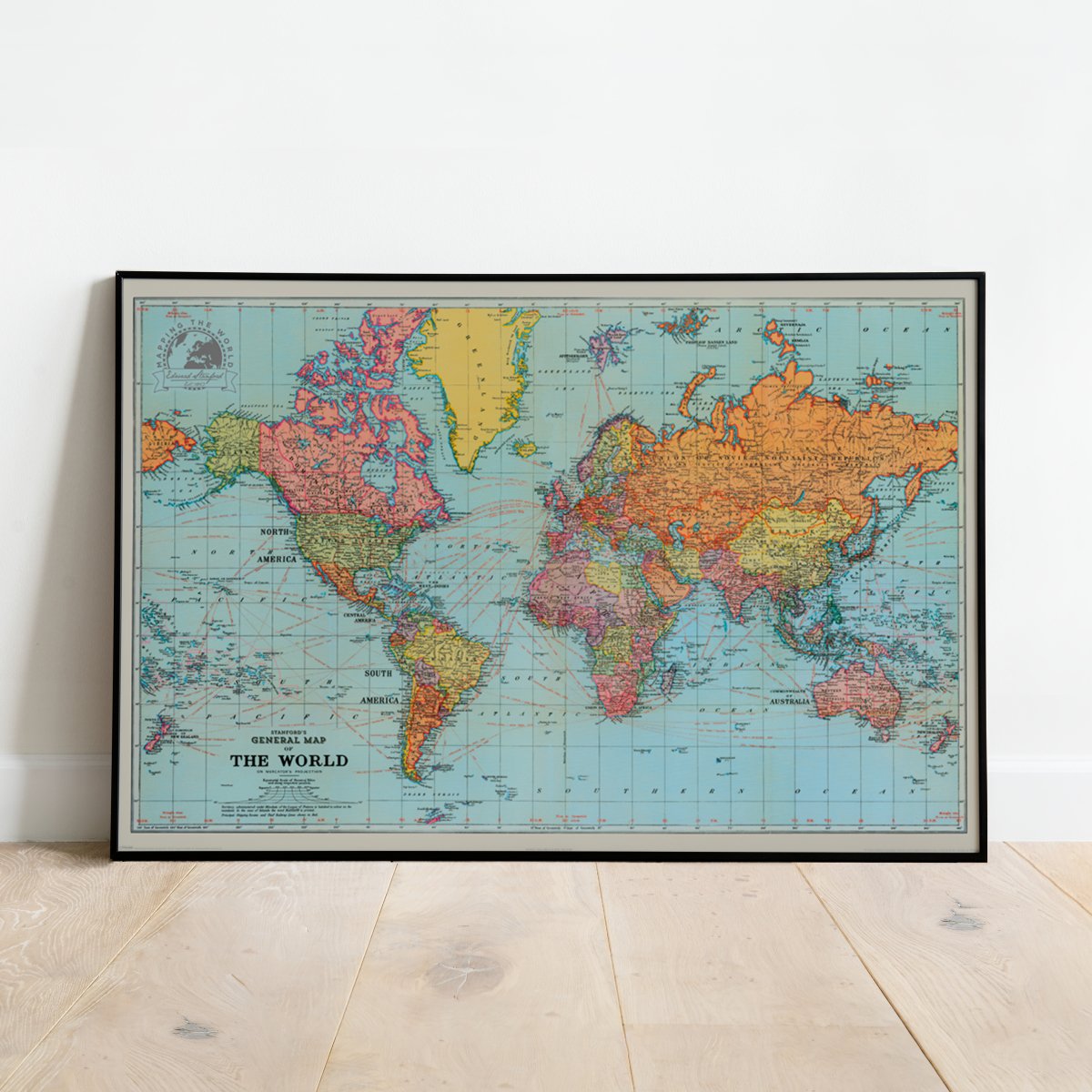
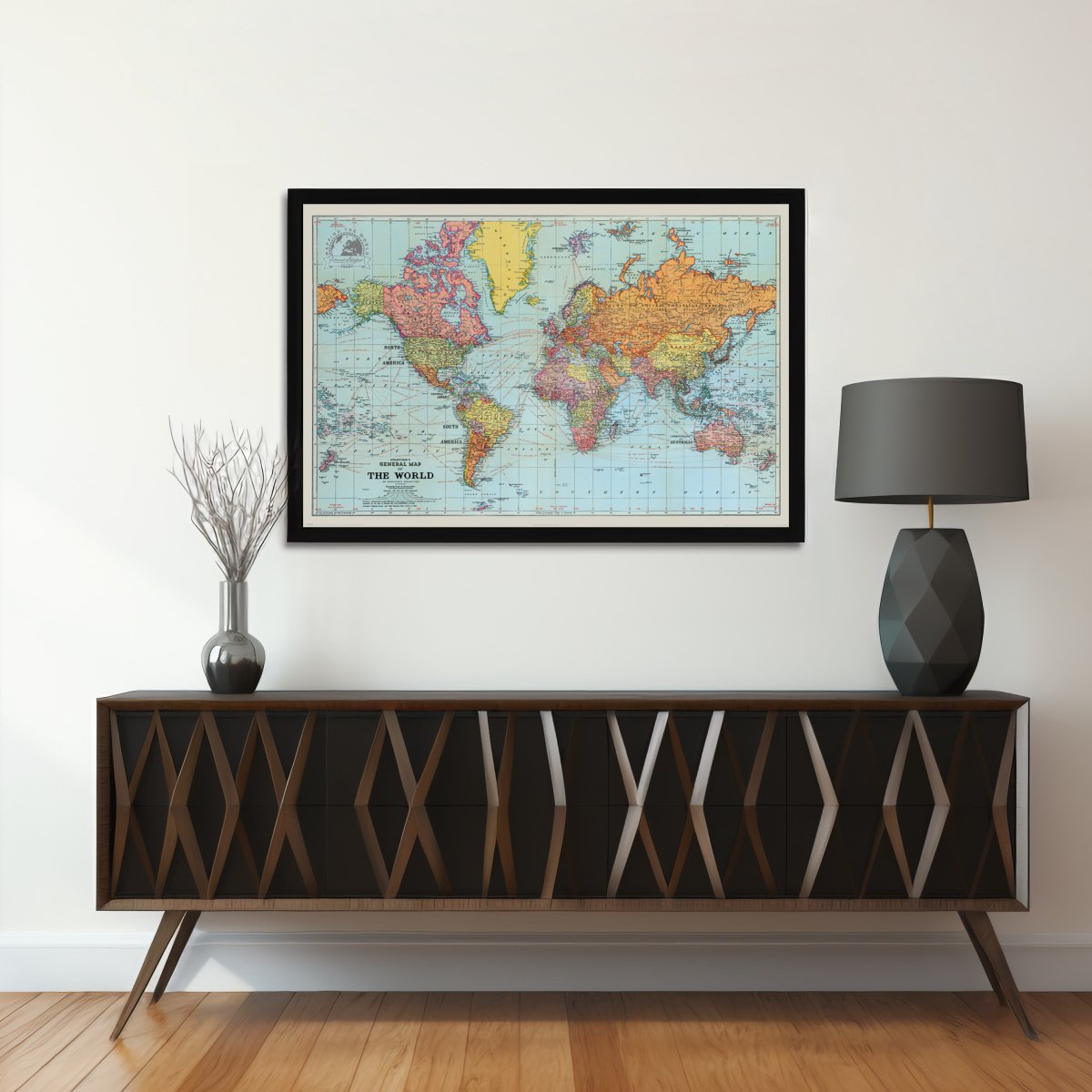
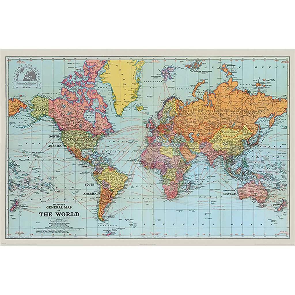
A world map can also be a journey through time. This poster reproduces Stanfords’ historical world map from 1920. The national borders and divisions show the world as it was depicted at the time, not as it appears on today’s political maps.
The poster measures 91.5 × 61 cm in landscape format. It is printed on glossy paper with a weight of 150 g/m² and is supplied unframed. A lovely design for anyone who likes maps, geography and history.
Specifications
- Width
- 91.5 cm
- Height
- 61 cm
- Material
- Paper
- Color
- Blue
- Orientation
- Horizontal
- Finish
- Gloss
- Frame type
- Unframed
Shipping & delivery
- Dispatch
- Typically processed within 1–2 business days after payment is received
- Delivery time
- Typically 2–8 business days after dispatch
- Shipping cost
- From NOK 249 depending on weight and destination. Final shipping is calculated at checkout in EUR.
- Carrier
- DHL Express
kjøpte til venninna!! ( hennes bilde ) hun ble SÅÅ glad!! Kjempefin kvalitet, rimelig og ble levert kjempe raskt!!
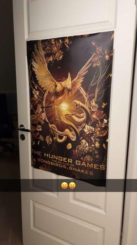
Enkel og effektiv handel!
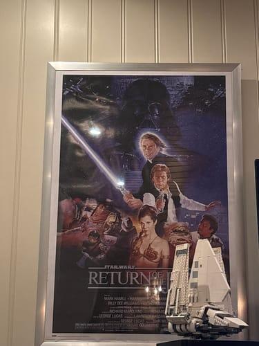
Digger plakatene 😍
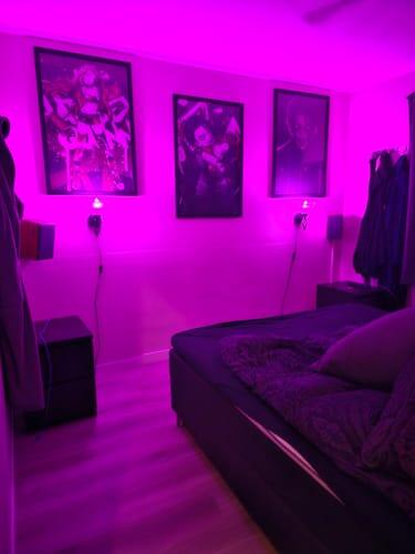
Elsker den

Helt topp produkter. Mye tøft de selger. Fornøyd kunde 👍👍
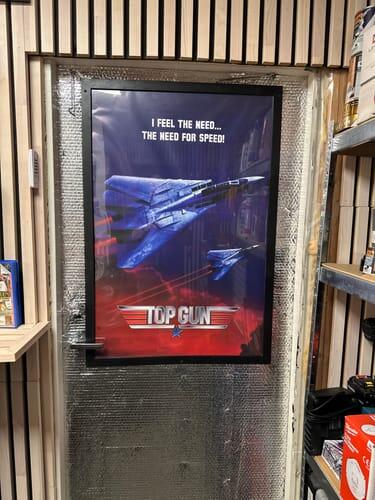
Kommer godt pakket inn og med god kvalitet
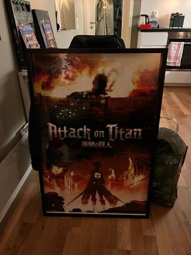
Perfekt!!!
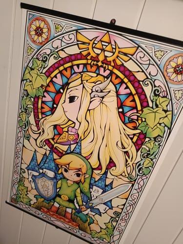
Så fin!
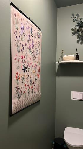
God kvalitet, veldig fornøyd
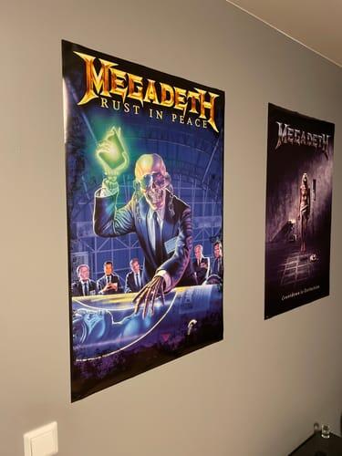
Elsker super i love it❤️❤️
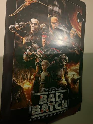
:)

Utrolig fin plakat! Elsker den!

Soleklart mitt beste kjøp elsker de tingene jeg kjøpte også
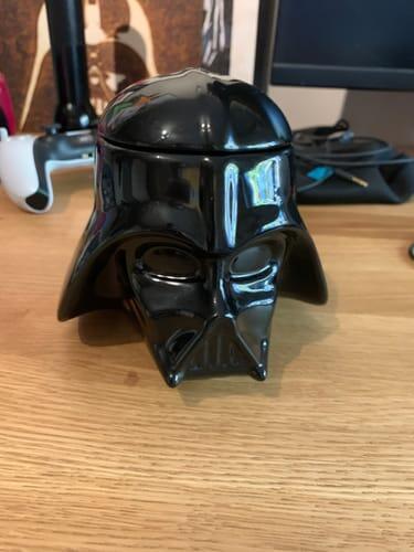
Bra vare
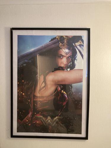
Kjempe flott plakat. God kvalitet og rask levering.
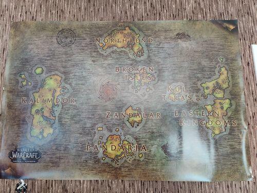
Elsker å handle her
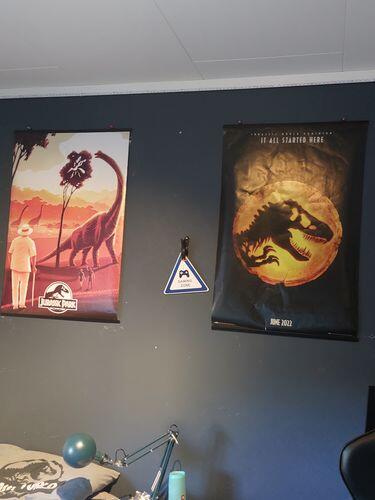
Min gutt er veldig fornøyd med plakaten, og jeg er så imponert med super fort leveringen! Fantastisk jobb!
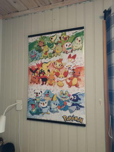
Er veldig fornøyd og bra kvalitet🤩
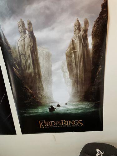
Elsker plakaten
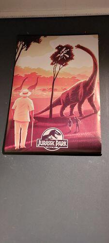
Elsker den
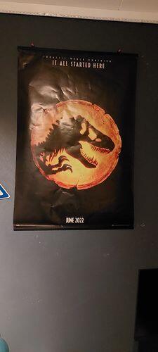
Liker plakaten
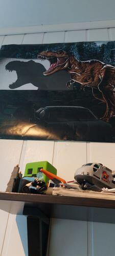
Liker plakaten
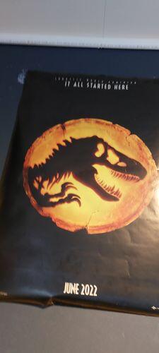
veldig bra kvalitet plakat 👍🏻
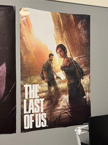
min andre gang at jeg kjøper fra supernerds og kvaliteten av plakatene er fantastisk hver gang : ) 10/10
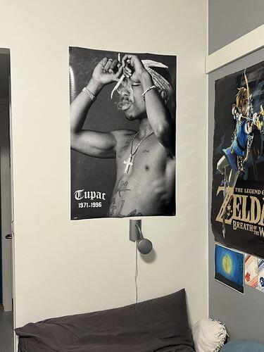
veldig fornøyd Fint ut😊👍🏻
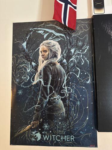
Kraftig og bra materiale
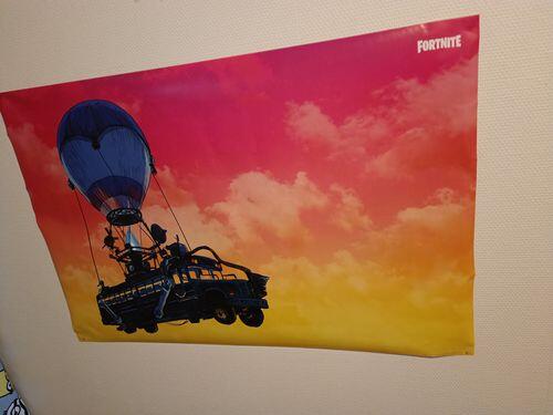
Elsker plakaten jeg fikk. Anbefaler dere på det høyeste